Malappuram
Malappuram (also Malapuram) (About this soundpronunciation) is a city in the Indian state of Kerala, spread over an area of 33.61 km2 (12.98 sq mi). The first municipality in the district formed in 1969, Malappuram serves as the administrative headquarters of Malappuram district. Divided into 40 electoral wards, the city has a population density of 2,083 per square kilometre (5,390 per square mile). As per the 2011 census Malappuram Urban Agglomeration is the fourth largest urban agglomeration in Kerala state with a total population of 1,698,645. Malappuram is situated 54 km southeast of Calicut and 90 km northwest of Palakkad.
Geography
Malappuram is situated in the mid land area of the state. As the name suggests, it is covered with small mountains of lush greenery, bonded with several freshwater streams flowing through the city. Kadalundi Puzha, a major river in Kerala is flowing around the city. Malappuram is one of the few municipalities in the state with a tremendous track record of keeping the city clean. The recognition as second 'best municipality in up keeping the cleanliness and health by state government in 2011 and Second prize for Swachhata Excellence Awards in 2019 by Government of India acknowledges these sincere efforts of the municipality. Malappuram is the biggest potential nod of the district. Unlike other district headquarters, Malappuram holds a significant position in west-east transit along with north-south. It makes the city accessible for everyone in the district through either National Highway or State Highway. The strategical location of the city is yet to be exploited in many aspects.
Hotspots
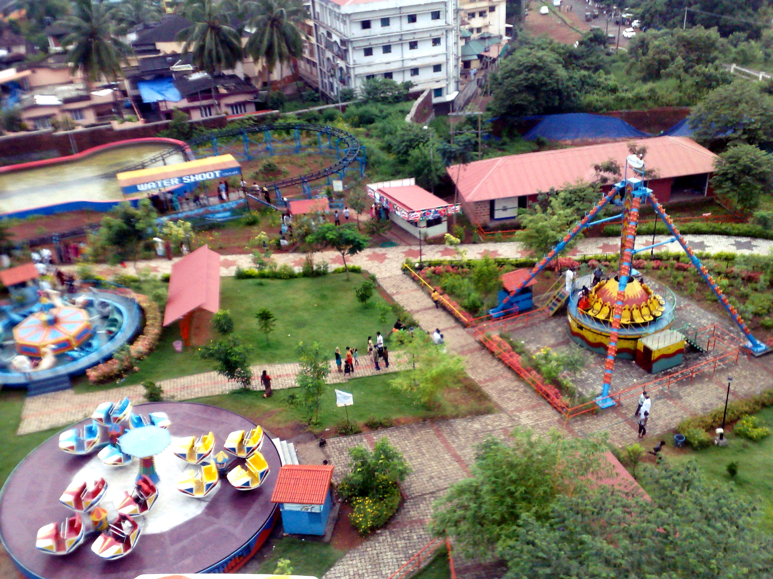
Kottakkunnu
.jpg)
Arimbra Hills